Skip to content
HOME
ROUTE
TOUR TIPS
HOME
ROUTE
TOUR TIPS
PARTNER
EVENTS
CONTACT
PARTNER
EVENTS
CONTACT
HOME
ROUTE
PARTNER
TOUR TIPS
EVENTS
CONTACT
HOME
ROUTE
PARTNER
TOUR TIPS
EVENTS
CONTACT
WORTH SEEING
ON THE ROUTE
THE NATIONAL GEOPARK LAACHER LAKE AND THE NATURE AND UNESCO GLOBAL
GEOPARK VOLCANIC EIFEL INVITES VISITORS TO A DISCOVERY TOUR ON THE
280 KM LONG “GERMAN VOLCANO ROUTE”.
Details of the highlights
GEOLOGY
INDUSTRIAL HISTORY
CULTURAL HISTORY
MUSEUMS & INFORMATION CENTERS
ALL
GEOLOGY
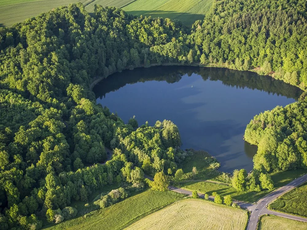
1ST HARVEST CROSS: HOT ASHES - STILL LAKE!
CULTURAL HISTORY
2. MARIA LAACH: MONASTERY AND VOLCANOES?
GEOLOGY
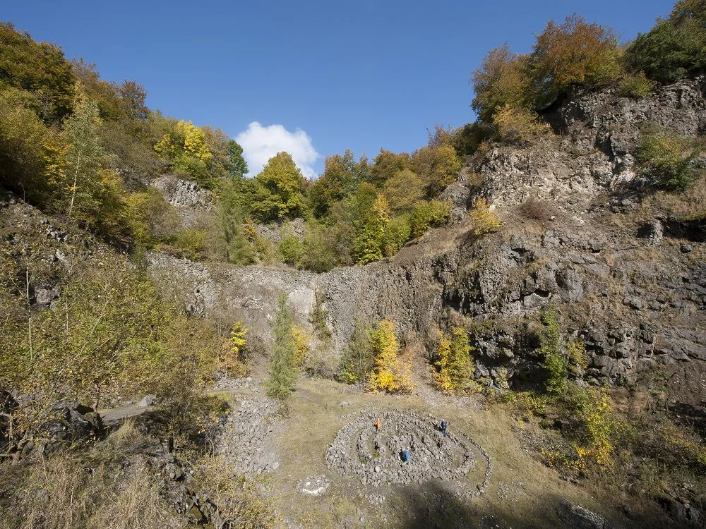
3. EPPELSBERG: STONE INFERNO!
CULTURAL HISTORY
4. MEURIN ROMAN MINE
MUSEUMS & INFORMATION CENTERS
5. RAUSCHERMÜHLE INFORMATION CENTER
MUSEUMS & INFORMATION CENTERS
6. LAVA-DOME: WELCOME TO THE LAVA-DOME
GEOLOGY
7. WINGERTSBERG: GEOLOGICAL GEM!
INDUSTRIAL HISTORY
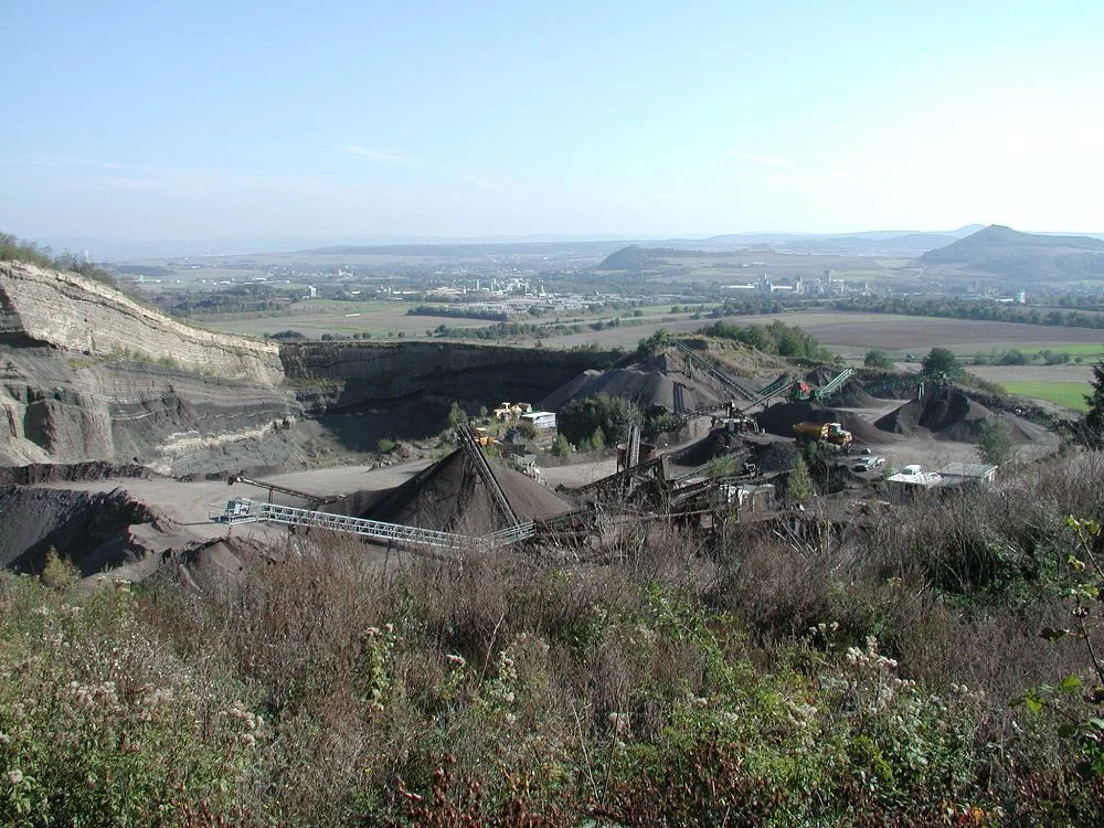
8. MAYEN MINE FIELD: EXCAVATED, MINED, VIEWED
GEOLOGY
9. SLIDING FOLD: ICE IN THE VOLCANO!
GEOLOGY
10. ASH FLOW: YOUNG ASH ON OLD STONE!
INDUSTRIAL HISTORY
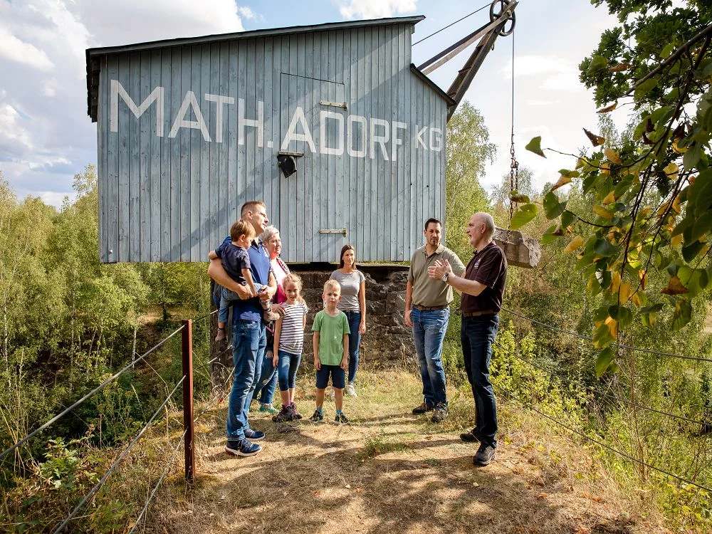
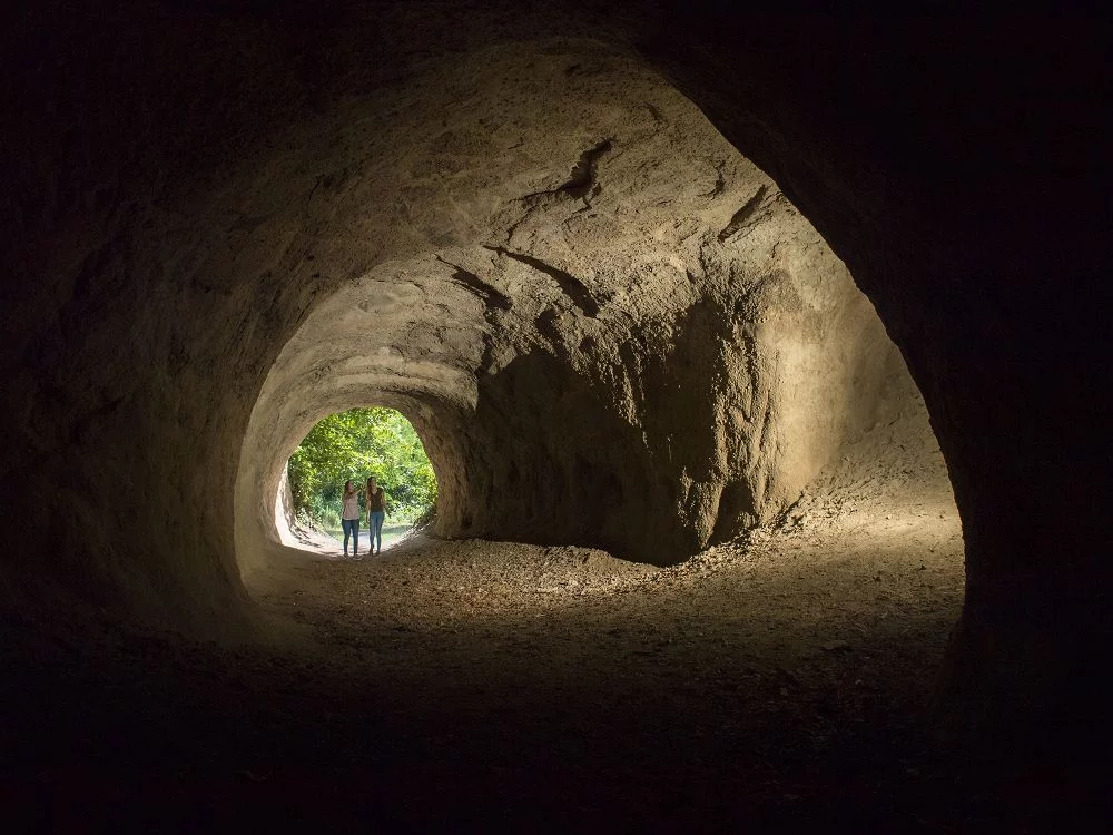
11. TRASSHÖHLEN
GEOLOGY
12. BAUSENBERG: BREACHED VOLCANO
MUSEUMS & INFORMATION CENTERS
13. GESCHÄFTSSTELLE NATIONALER GEOPARK LAACHER SEE
CULTURAL HISTORY
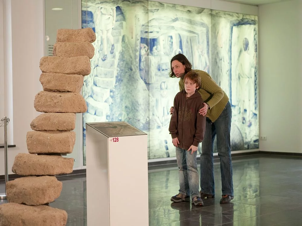
14. TUFF CENTER: TUFF - STONE FROM VOLCANIC ASH!
GEOLOGY
15. HIGH EIGHT: HAVE YOU EVER CLIMBED THE HIGHEST PEAK OF A MOUNTAIN?
GEOLOGY
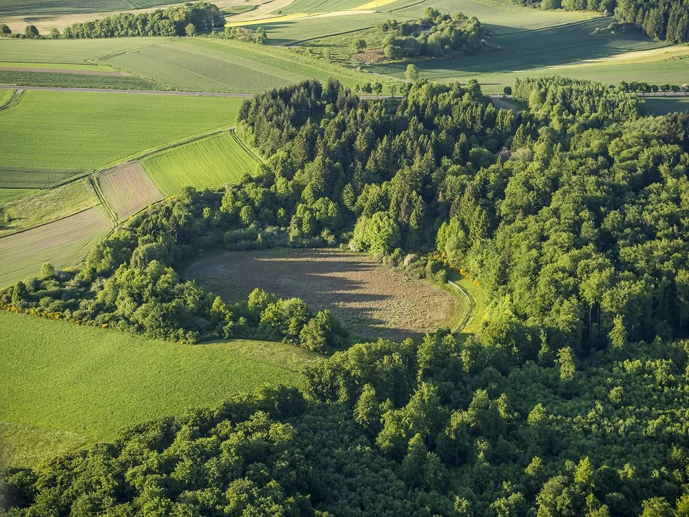
17. MOSBRUCH: THE POND - A MAAR!
GEOLOGY
18. ULMEN: YOUNG HOTSPUR
GEOLOGY
19. VOLCANO INFO PLATFORM: CHEEKY PEAKS
GEOLOGY
20. BAD BERTICH: THERMAL SPRINGS AND CHEESE GROTTO
GEOLOGY
21. IMMERATH: A VOLCANO SEES GREEN
GEOLOGY
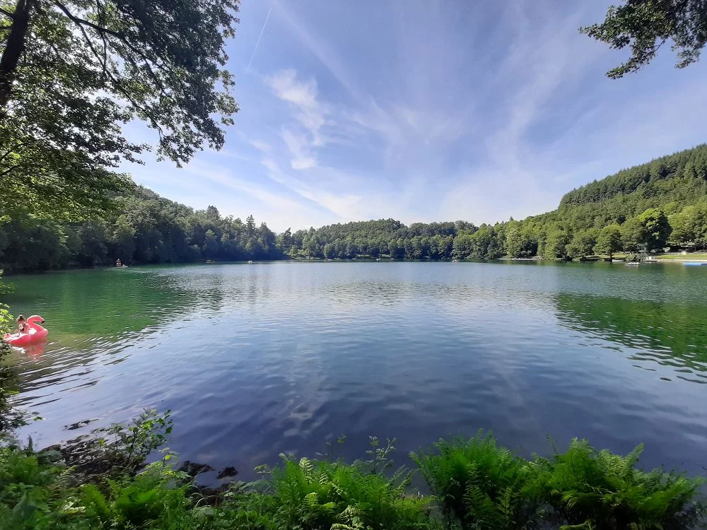
22. PULVERMAAR: MOOR, MOUNTAIN, LAKE
GEOLOGY
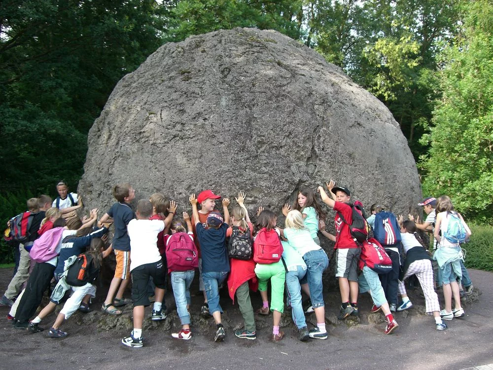
23. LAVA BOMB STROHN: HOT SNOWBALL
GEOLOGY
24. HOLZMAAR: WEATHER REPORT FROM MUD
GEOLOGY
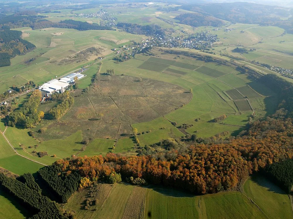
25. DÜRRES MAAR: POOR & VALUABLE
GEOLOGY
26. WEINFELDER MAAR UND SCHALKENMEHRENER MAAR
GEOLOGY
27. GEMÜNDENER MAAR: SIBLINGS - AND YET SO DIFFERENT!
MUSEUMS & INFORMATION CENTERS
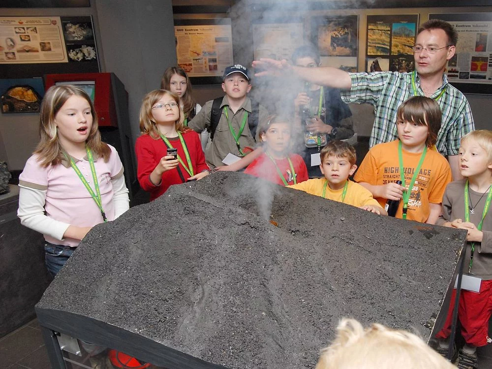
28. EIFEL VOLCANO MUSEUM IN DAUN
GEOLOGY
29. DREISER WEIHER
GEOLOGY
30. ARENSBERG: HOLLOWED-OUT VOLCANO
GEOLOGY
31. PALAGONITE TUFF RING AND VOLCANIC GARDEN STEFFELN
CULTURAL HISTORY
32. MILLSTONE CAVE ROTHER KOPF: HARD AT WORK
GEOLOGY
33. PAPENKAULE WITH SARRESDORFER LAVASTROM AND MUNTERLEY MAGMA ON THE MOVE
GEOLOGY
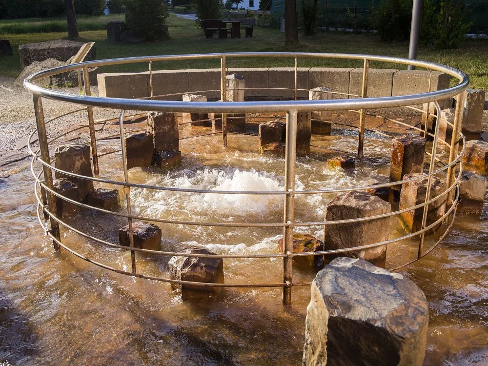
35. WALLENBORN: COLD WATER GEYSER
GEOLOGY
36. MEERFELD: IN THE EYE OF THE VOLCANO
GEOLOGY
37. MOSENBERG: MEAGER FARE IN PARADISE
MUSEUMS & INFORMATION CENTERS
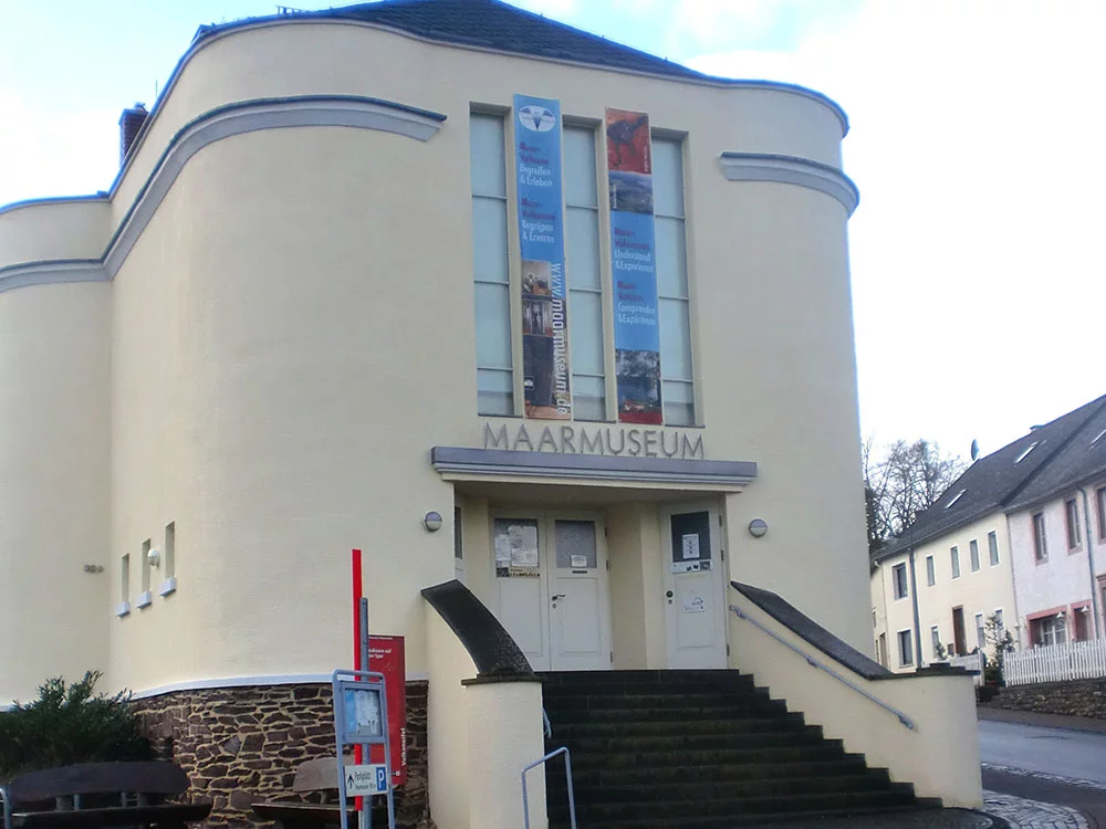
38. MAARMUSEUM MANDERSCHEID
GEOLOGY
39. ROCK FOLD: A SHALLOW, WARM SEA.